Click an author to filter the list of related assets below.
Abstract:
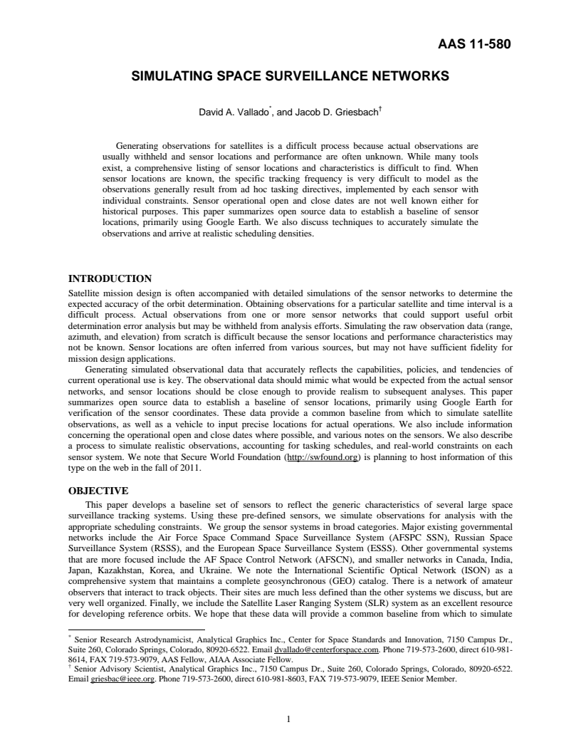
Generating observations for satellites is a difficult process because actual observations are
usually withheld and sensor locations and performance are often unknown. While many tools
exist, a comprehensive listing of sensor locations and characteristics is difficult to find. When
sensor locations are known, the specific tracking frequency is very difficult to model as the
observations generally result from ad hoc tasking directives, implemented by each sensor with
individual constraints. Sensor operational open and close dates are not well known either for
historical purposes. This paper summarizes open source data to establish a baseline of sensor
locations, primarily using Google Earth. We also discuss techniques to accurately simulate the
observations and arrive at realistic scheduling densities.
Keywords:
Click a keyword to filter the list of related assets below.
Citation:
Vallado, David A. and Jacob D. Griesbach. 2011. Simulating Space Surveillance Networks. Paper AAS 11-580 presented at the AAS/AIAA Astrodynamics Specialist Conference. July 31-August 4, Girdwood, AK, accessible at https://comspoc.com/Resources/Content/Private/C-20220425T155542/Paper/AAS%2011-580%20Simulating%20Space%20Surveillance%20NetworksRev2.pdf.
Papers with related authors:
A Critical Assessment of Space Data Message Standards and Their Application to Space Force and Partner Missions